Projects

With Picterra, you can seamlessly store, organize, and analyze your data from satellite, drone, and aerial sources all within a single platform. Your imagery, essential for developing and training your models, as well as for subsequent analysis in Picterra, is efficiently stored and organized in project folders. Each folder contains relevant imagery tailored to specific projects or geographies.

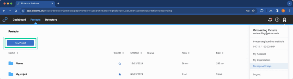
All the project folders are accessible in the “Projects” page.

Create a new Project

In order to create a new project navigate to “Projects” tab and click on the “New project” button.

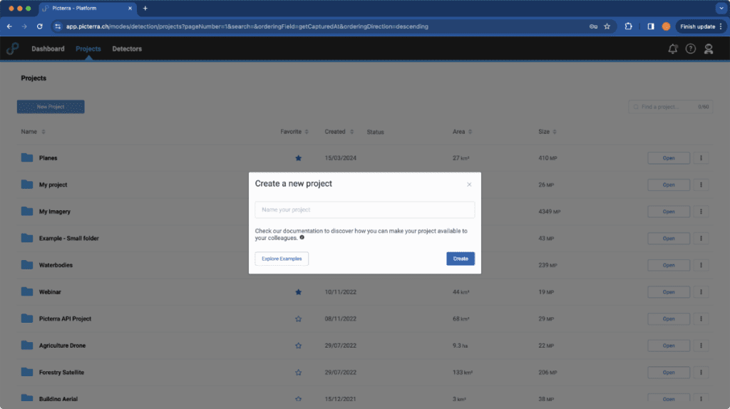
It will direct you to the popup where you can specify your project’s name.

Depending on your subscription plan, you may have the option to create an unlimited number of projects or a specific limit. Please review your plan specifications for more details or contact support for assistance with upgrading. 

Project collaboration

Once you have created a project, you can edit its permissions. From the project list, click “Manage access” to share or edit the permission settings, as shown in the image below.